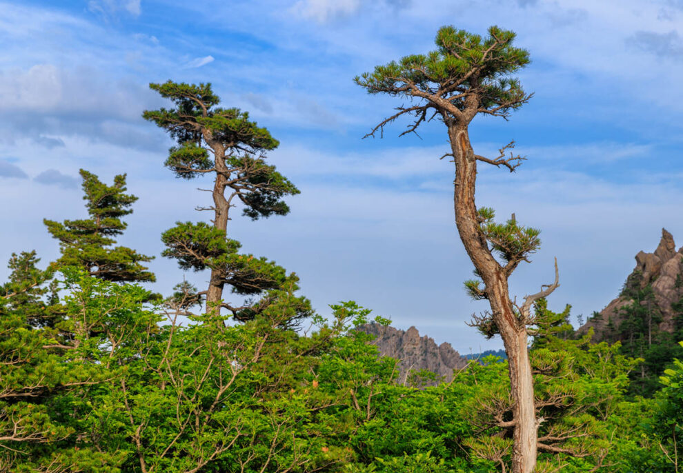
Seoraksan was the first National Park to be declared in South Korea. It’s situated up in the far northeast corner of the country, only a short distance below the border with North Korea. It has a great combination of spectacular mountain scenery, lush forests, and picturesque Buddhist temples and hermitages. With excellent, well-maintained hiking trails, and proximity to the small city of Sokcho, it’s a wonderful place to spend some time.
We only had four nights’ stay in the area, which allowed us to do three really great day walks in the park. Each one is heartily recommended! Then, when our legs needed time to recover, we took the cable car up to ‘Gwongeumseong Fortress’ for yet more stunning views.
Ulsanbawi Rock
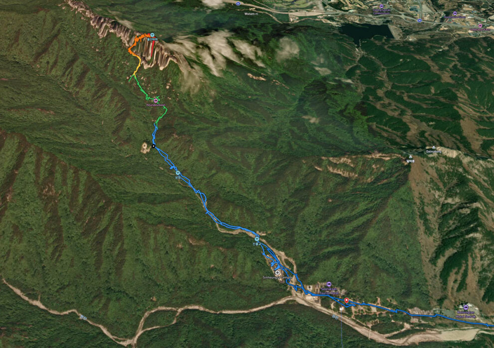
14.7km, 849 metres total ascent
This is probably the best-known walk in Seoraksan, which leads from the main park facilities up alongside a lovely creek before ascending very steeply to the top of a massive ridge of basalt.
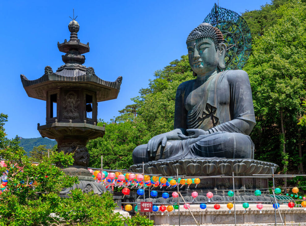
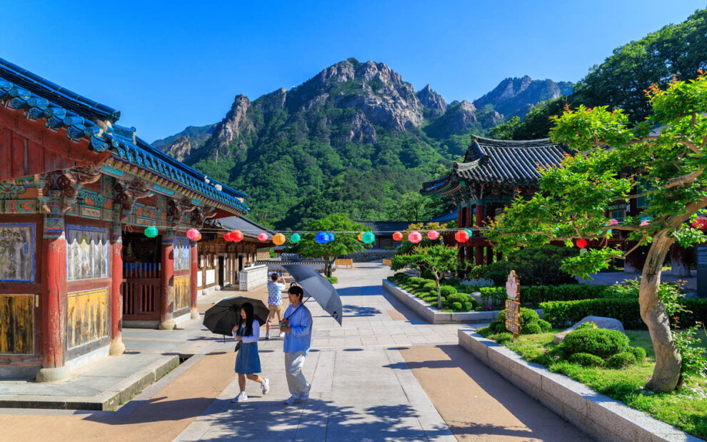
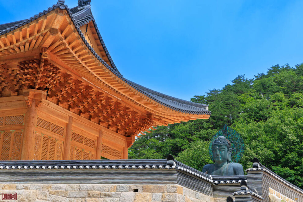
The first part of the track is deceptively easy as it passes through the Sinheungsa Temple complex, which includes a massive (108 tonnes of bronze) ‘Great Unification Buddha’. The statue is known as Tongil Daebul in the Korean language and, like all other Buddhist temples that we visited in Korea, was decked out with colourful paper lanterns and other decorations because of the Buddha’s Birthday celebrations.
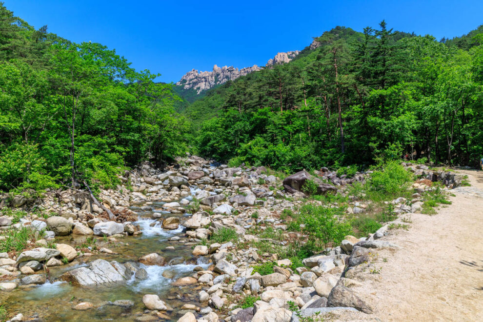
Beyond the temple we took a right-hand track up alongside a pretty creek bed, which became mostly dry as we gradually ascended. The trail passes through lovely forest of Korean Red Pine, Maple and Manchurian Fir.
After about three kilometres we came to the Gyejoam Hermitage, a surprisingly large shrine built deeply into the rock wall of the valley. Because of the Buddha birthday celebrations, community members were offering free and delicious bibimbap meals to passing hikers. It was a great way to fortify ourselves for the strenuous climb ahead.
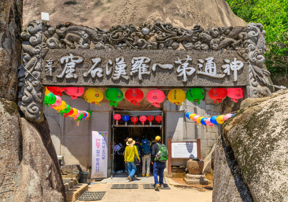
Beyond the Hermitage the trail became much steeper, and we could now look up to the Ulsanbawi Rock wall above us.
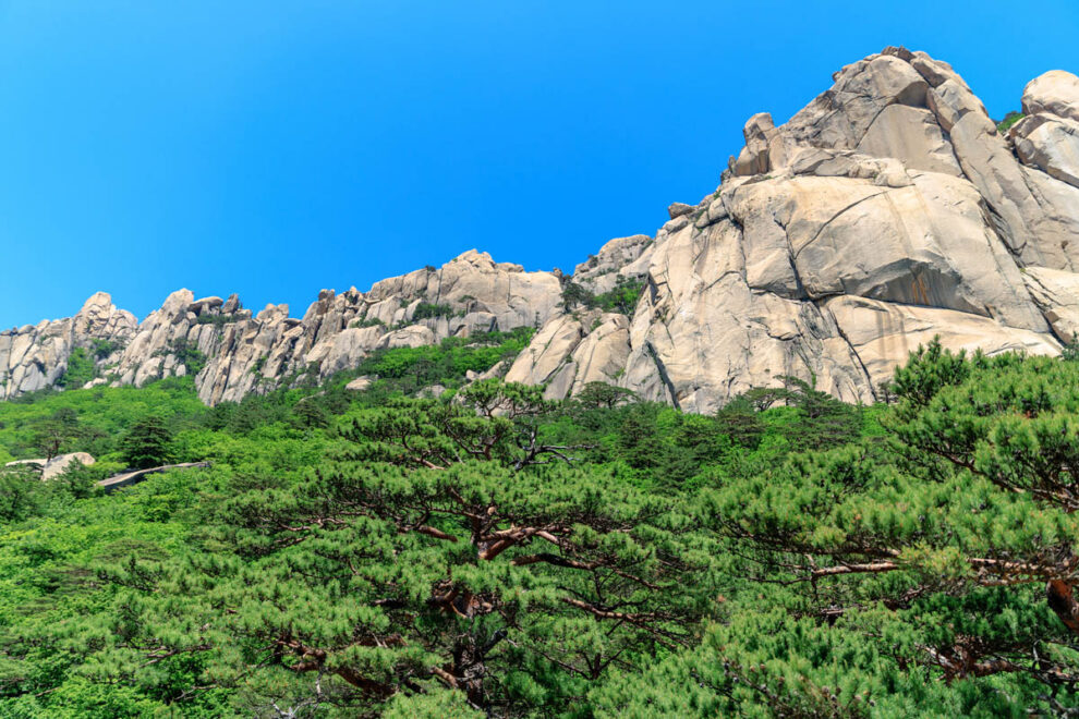
The last part of the climb consists of steps which have been attached onto the sheer rock wall of Daebo Granite. It’s quite a feat of engineering, and a climb to the top woul;d otherwise be impossible without specialist rock-climbing gear and skills.
Apparently there are 888 steps, but we didn’t count them to confirm.
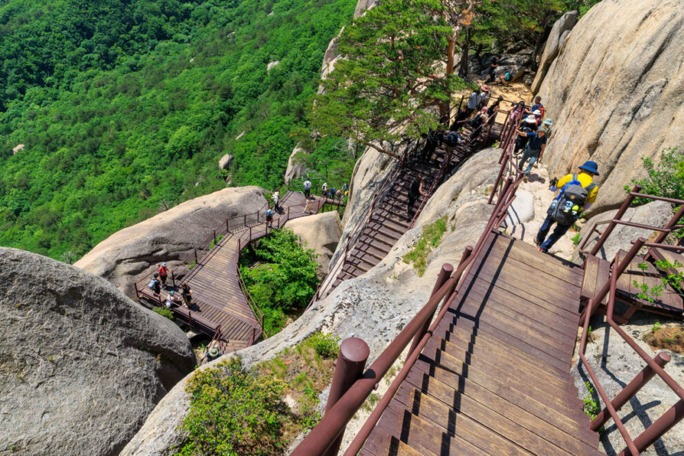
The views from the top made all the effort worthwhile. Really spectacular – and somewhat vertiginous!
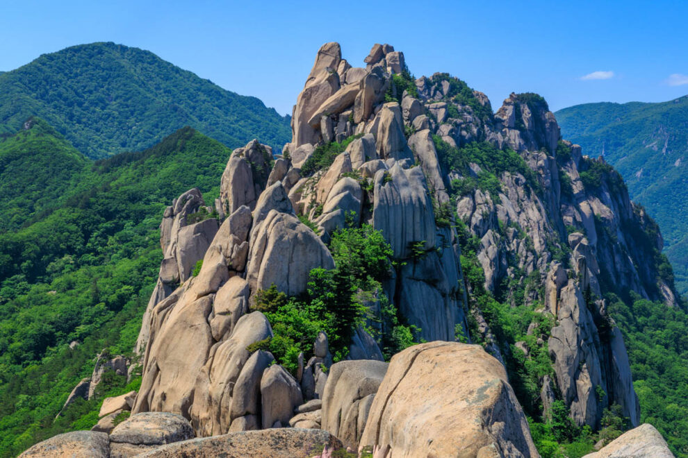
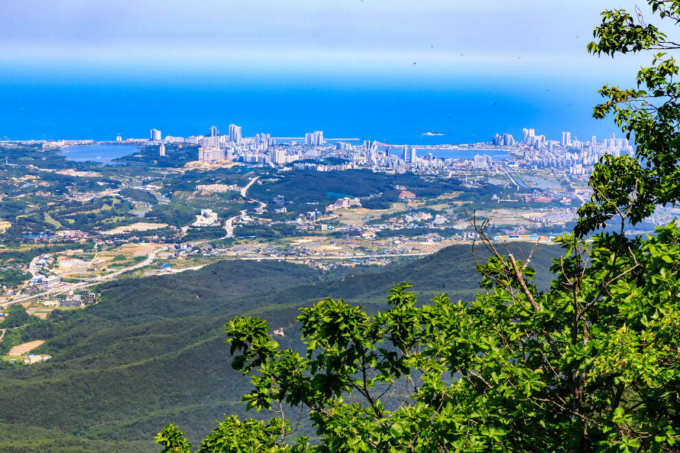
To the east is a great view down to Sokcho on the West Coast.
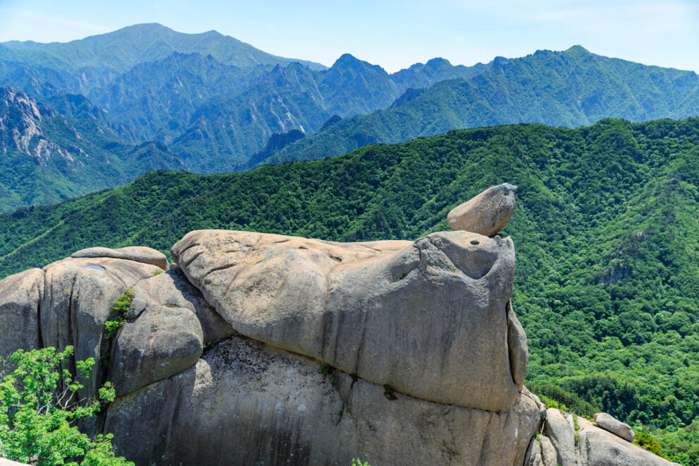
To the southwest are views deeper into the mountains of Seoraksan.
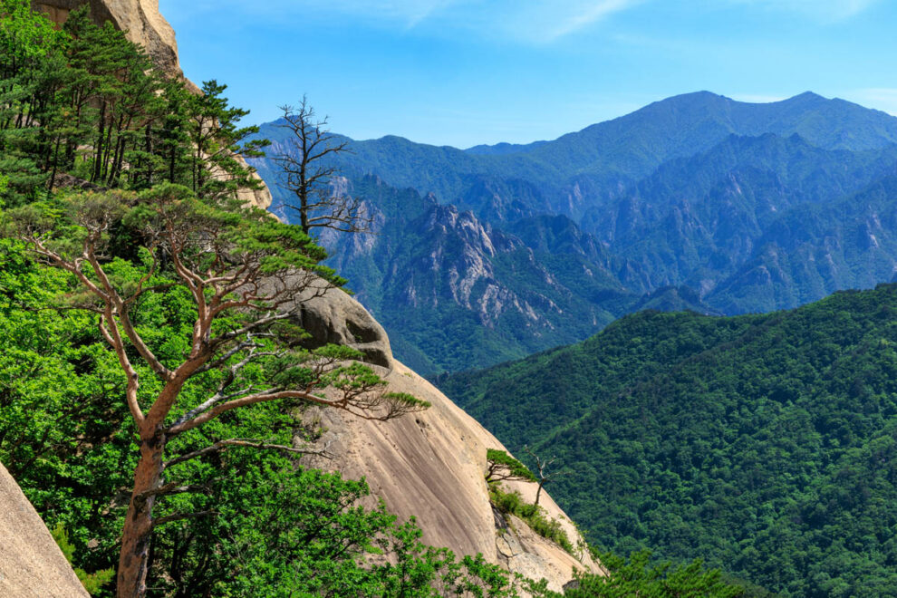
On the way back down we were able to look up and enjoy some of the views we had not noticed as we trudged our way up.
Returning to the bottom we took time to explore other parts of the Sinheungsa Temple complex, before returning to our lodgings in Sokcho.
Biseondae
7.1km, 193 metres total ascent
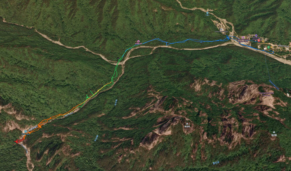
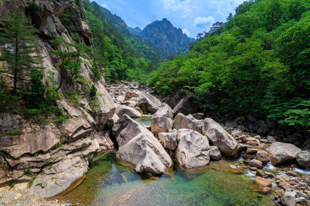
The Biseondae trail was quite a contrast to the previous day’s trek up to Ulsanbawi Rock. Starting from the same location, but taking a trail off to the left at the Sinheungsa Temple, it follows a gentle incline through forest up the Biseondae valley to where the stream cascades over some large granite rocks.
All up, returning by the same route, it can be completed in less than two hours. We took a bit longer because we stopped many times to take photos, and to just soak up the tranquility of the landscape.
As with the Ulsanbawi walk, the Biseondae trail begins from near the Sinheungsa Temple. We were more than happy to pass by again.
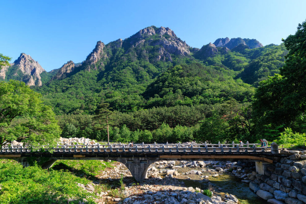
The trail then diverges, crossing a quite substantial bridge over the Ssangcheon River. The first half of the trail can be negotiated by Park vehicles – but we saw none on the day we walked it. After that point the trail is only for foot traffic.
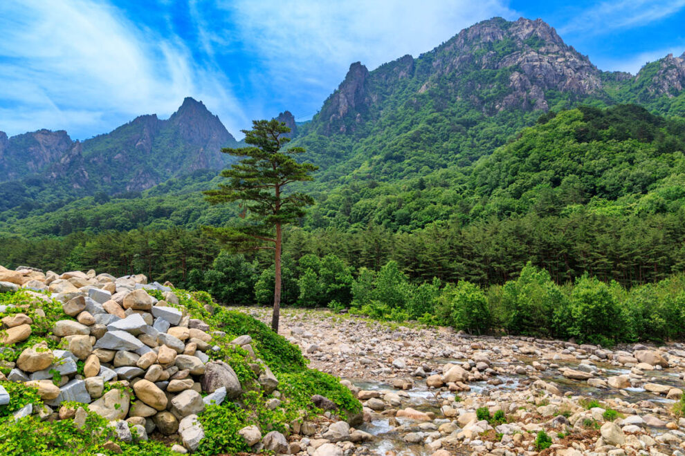
For most of the walk we proceeded under a canopy of lovely trees. Lots of the ubiquitous Korean Red Pines, as well as a variety of deciduous trees – mostly maples, oak, and some Chinese Cork Trees.
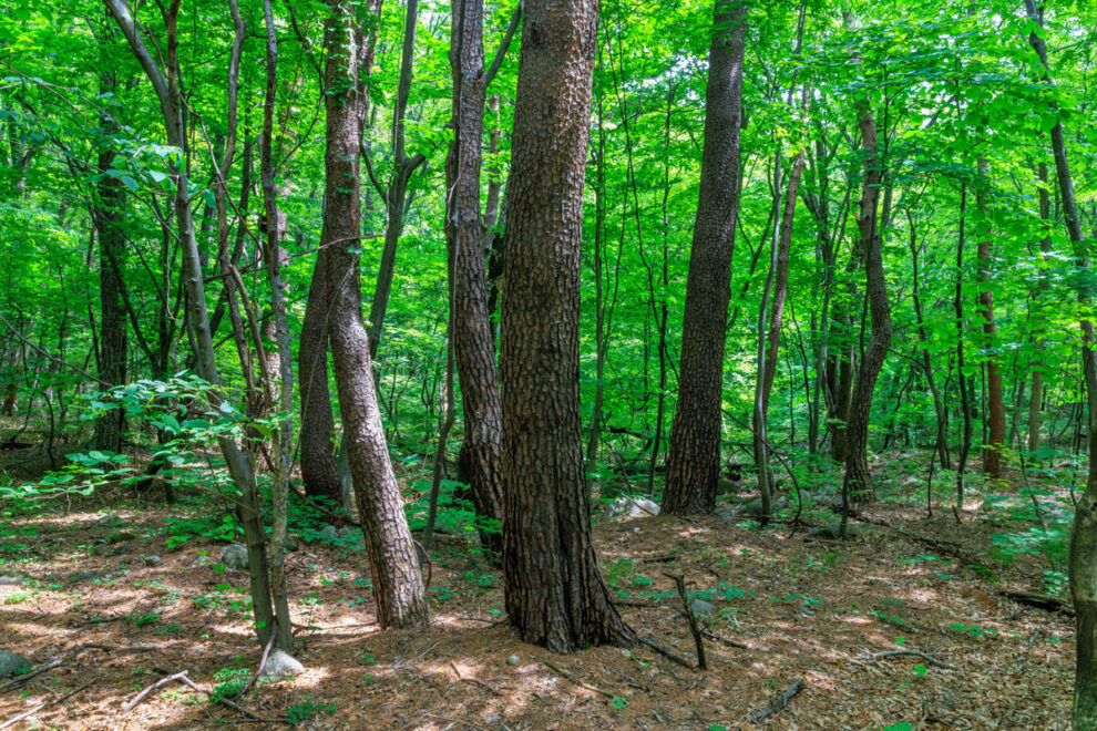
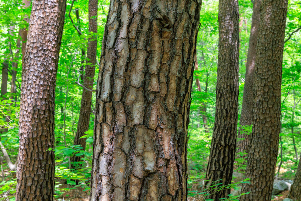
The trunks of the red pine have gorgeous textured patterns in the bark.
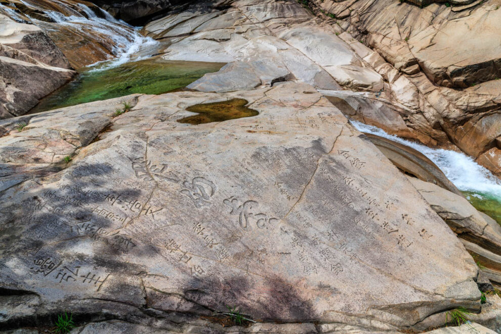
At the cascades the huge flat rock surfaces were almost covered with inscriptions. The lettering appears to have been carved with considerable care and expertise. Unable to to read the text, we imagined them to express worshipful spiritual messages – rather than some Korean equivalent of “Bill and Mary were here” type messages.
From Biseondae the trail forks with two alternate ways of proceeding much further and deeper into the park for multi-day treks. But we turned back and returned along the same delightful forest route that had brought us there.
Biryong Falls / Towangseong Falls Observatory
7.6km, 384 metres total ascent
This walk was something of a hybrid of our previous two walks, with the combination of a gentle forest trail beside a stream, leading to a very steep climb up steps to enjoy spectacular views.
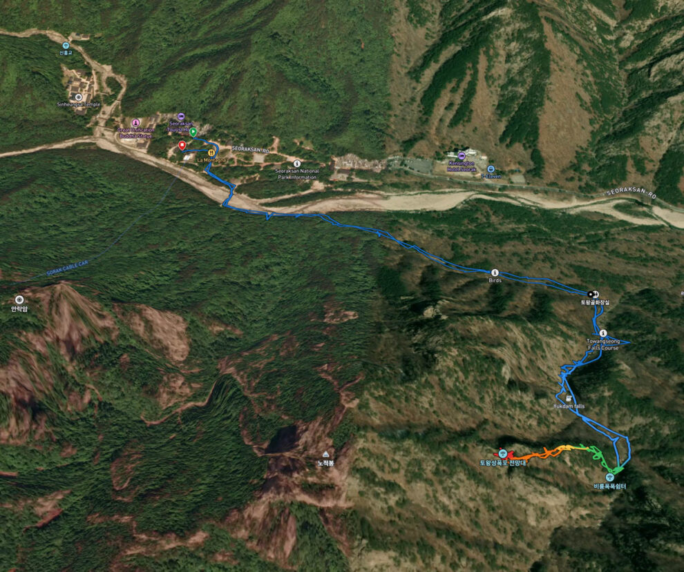
The first section of the walk takes you downstream, alongside then across the Ssangcheon River, before heading into along a tributary stream flowing down from the Biryong Falls.
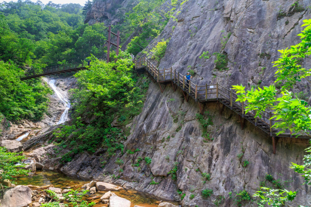
As the trail approaches the Falls, the valley narrows and steepens, and the trail progresses by means of steps and bridges attached to the bare rockfaces. It’s impressive – and a little scary in parts – but every bit of it seemed to be well designed, structurally sound and in as-new condition.
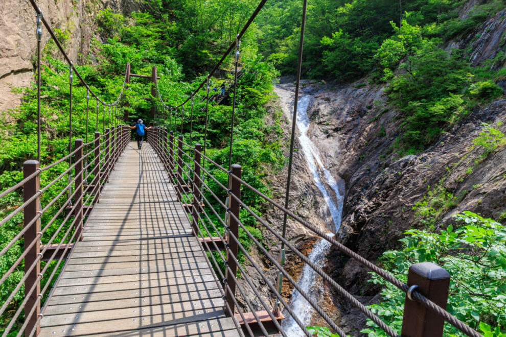
The Biryong Falls are really a series of cascades which the trail parallels and then crosses by way of suspension bridges. ‘Biryong’ means ‘Flying Dragon’ – but we couldn’t quite see the resemblance…
From the Biryong Falls, the track going upward to the Towangseong Observatory becomes a relentless metal staircase. 900 steps in total – but, once again, we didn’t count them.
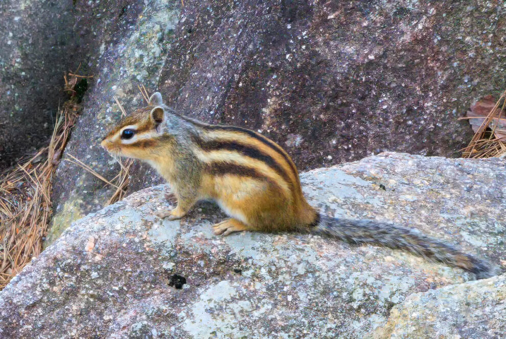
Along the way we had our second encounter with the very cute Siberian Chipmunk (Tamias sibiricus). We’d previously met a pair of them on the way back from Ulsanbawi.
Sightings are fairly common, and the chipmunk is the ‘official animal symbol’ of the Seoraksan National Park.
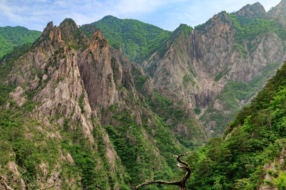
We thought that the view from the top of the long stair climb, at Towangseong Falls Observatory, is worth the price of admission (i.e. the expenditure of effort to get there). The distant Towangseong waterfall is spectacular indeed, and must be an even more wonderful sight after rain.
Over three cascades it tumbles a total of 320 metres, making it the longest waterfall in the country.
As with the previous two walks, this is an ‘out-and-back’ route, so we turned around and returned to the central Park area via the way we had come.
Seoraksan Cable Car
Having completed a fair amount of uphill hiking, we thought we deserved to take the easy route up to the ‘Gwongeumseong Fortress’ – by cable car.
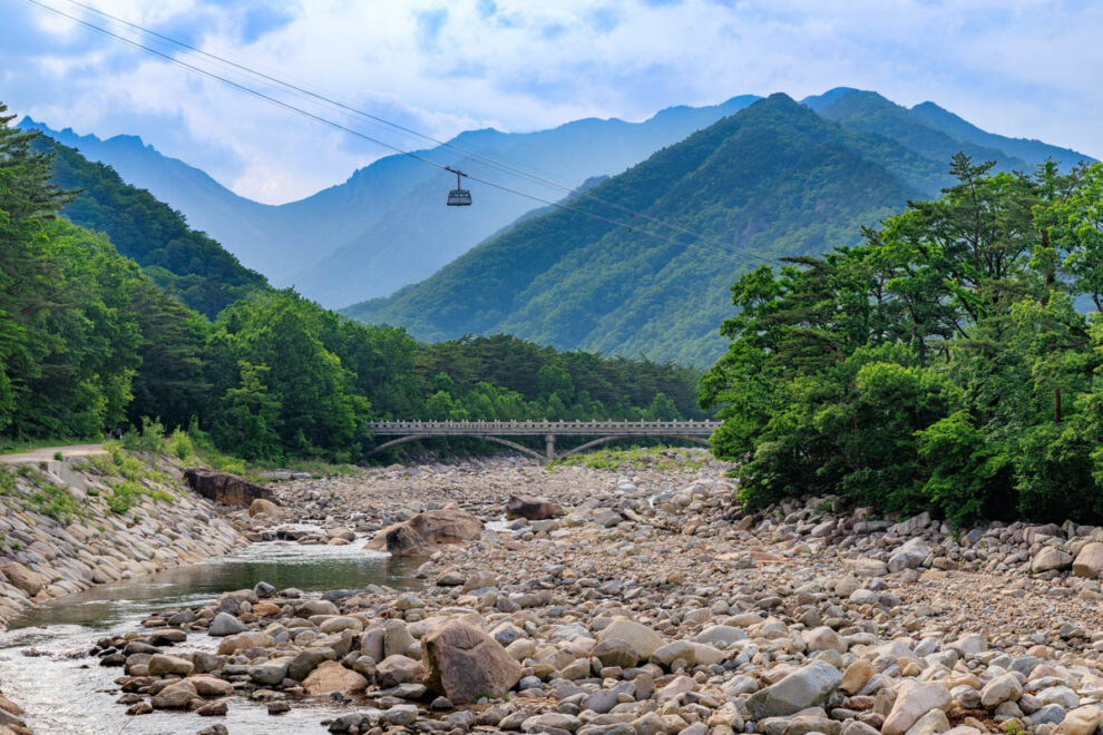
The cable car runs every ten minutes, and accommodate 50 passengers for each five minute journey to the top. We were there on a very busy holiday weekend, so we needed to book our tickets well ahead of time to ensure getting a ride.
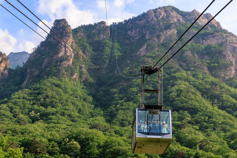
The cable car crosses over the Ssangcheon River, then ascends steeply up to the ‘Fortress’ at an altitude of 700 metres.
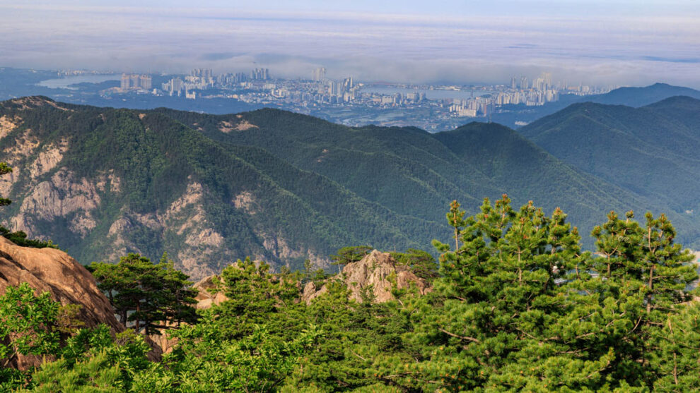
The view from the viewing platforms at the top station is excellent, but even better views to the mountains on the other side of the ridge can be had by walking up the track for ten minutes or so beyond the cable car terminus.
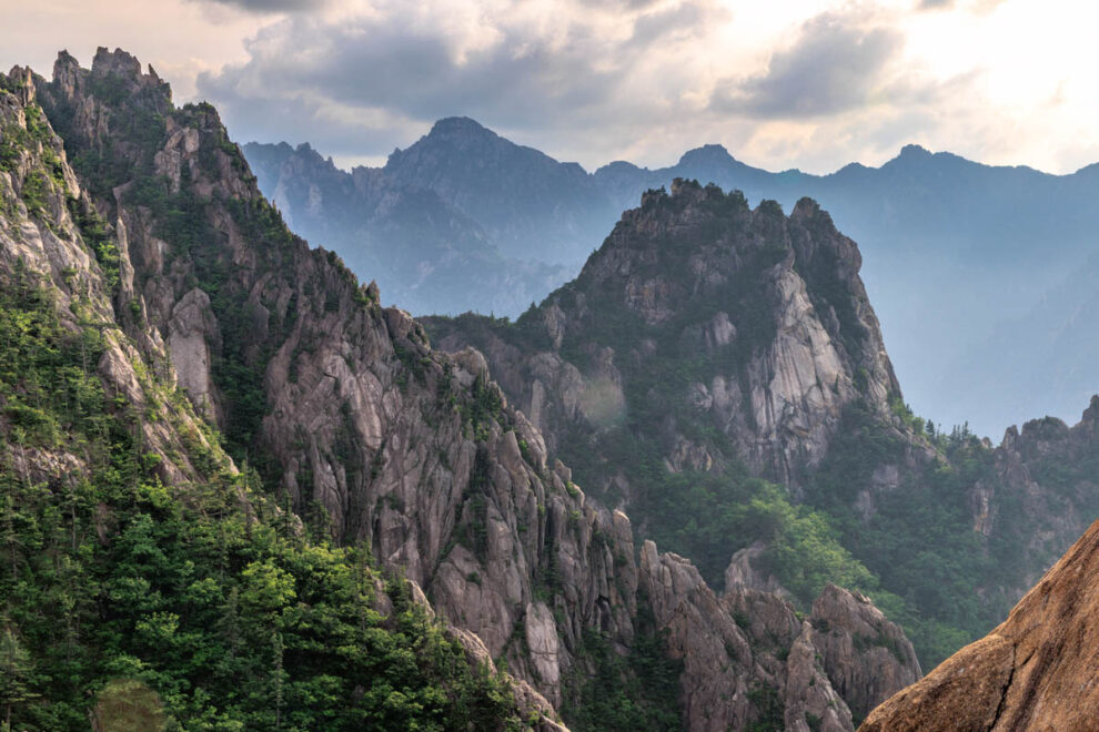
Our tickets were for one of the final times available in the day, so the late afternoon light was starting to work its magic on the mountain ridges.
And of course there were more Korean Red Pines, standing artfully as though they had been shaped, pruned and placed there by a landscape architect.